In recent years, Geographic Information Systems (GIS) have evolved from being a tool for modelling geographic data into platforms for understanding and planning the world.
GIS systems bring together a whole host of data sources and then represent them in 3D visualizations and maps. As a result, they help us to understand patterns, perform analyses, solve complex problems, identify data relationships, monitor changes and understand trends. These activities, which would not be feasible without GIS, are performed by sharing information through a collaborative approach.
The main elements of Geographic Information Systems (GIS) are maps, data, analyses and applications.
- Maps represent diverse sets of geospatial data. They are not static and can be shared and distributed across multiple platforms.
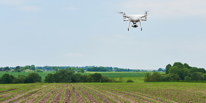
- Each GIS can contain an infinite number of data types and sources, from satellite images through to sensor information, vector data and drone imagery, to name but a few.
- The real power of these systems lies in their capacity to analyze, which includes assessment, forecasting, and identifying trends and patterns. This enables users to understand the data and maps contained in them from a variety of perspectives, providing answers to problems that could not otherwise be solved.
- GIS have become an essential tool for the digital transformation of companies in the so-called Fourth Industrial revolution (Industry 4.0). They are genuine cross-cutting tools in organizations. They support their business processes and serve to share data and create maps.
Today, numerous disciplines and specialist fields extract value from Geographic Information Systems to change the way the world works.
The dynamic GIS market has driven continuous improvement. This transformation is already beginning to manifest itself in organizations such as universities, government, public institutions, telecommunications companies, and utilities. In addition, resource management (electricity, gas, natural resources) and fields of knowledge (education, criminology, national defense, land use planning, urban planning, transportation, logistics…) are taking advantage of its advanced features.
?")
The use of GIS is now widespread. In fact, we use them for everyday tasks such as locating restaurants, obtaining the fastest route when we want to go somewhere, and even assessing the environmental, social and cultural aspects of the place we want to live in. GIS technology has become part and parcel of our daily lives, and an indispensable tool on the road to the digital transformation of our organizations.
Yolanda Durá, Director of the Information Systems Department, Global Omnium